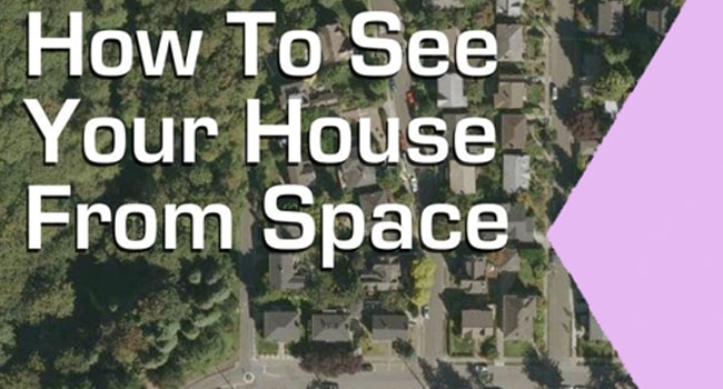
How Can You See a Satellite View of Your House?
Google map is an amazing product of google and can be used on multiple devices like, laptop, palm top, tablets, desktop and mobile phones. Besides the website google has also developed an application of google map which is available on all the app stores and that too is absolutely free. It is very handy service and is really helpful when going to the places where you haven’t been before. Suppose you are going to a trip to a totally new place and that place is not populated enough, now how would you find out them way to your destination. This is where google map and satellite imaging comes in, all that you have to do is to enter the name of your desired destination and the rest will be done by google map. It will make a detailed route for you from the point where you will be at moment to your destination. It will also tell you that how much take it’s going to take for you to get their on foot, motorcycle, car, bus, train and aeroplane. It is also very handy when you are bore and want to look at the old places where you have been or even you can view your own house using it.
Take it easy and control your excitement I am going to tell you in detail that how can you view your home and any place using satellite and the best part is its going to be free, you won’t have to spend even a penny to get access to this service. So now without wasting any more time I will take you straight to the thing which you want to know.
If you are not living under a rock than I am sure that you must have heard the name of google. Google is a multibillion dollar industry and is quite well-known due to the tremendous revolution that it had brought to the internet world. Google has launched many products and services to provide an ease in the life of its users. The best part of the products and services that google provide is that they are all absolutely free, yes you heard me right they are all absolutely free. Among all those services there is a service that we are going to talk about in this article is Google map also known as Google Satellite imaging. Google map or Google satellite imaging is an amazing product of google that enables you to get access of aerial imaging, route making and finding, route measuring and getting real time traffic status.
Now let us look how to install and use google satellite imaging. If you want to use it in its web form all you need to do is to type google map and the service will be at your screen. But if you want to use its android or IOS version which I really recommend than you have to go to the app store and type google map, on the top of list you will find what you are looking for. Select that and accept all the granted permissions, it will take some time to download and install depending upon the internet speed that you have. Once it is done you will see the option of open, click on it and you will be ready to use it. Now you can enjoy this amazing service of google whenever you want to.